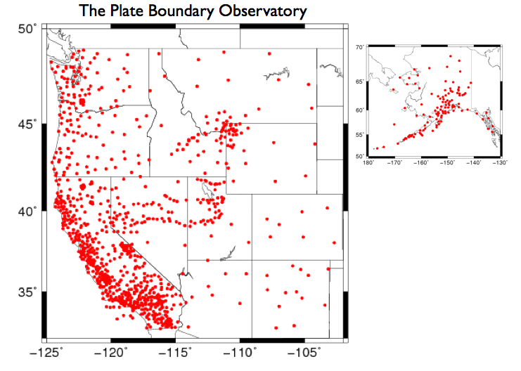
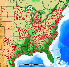
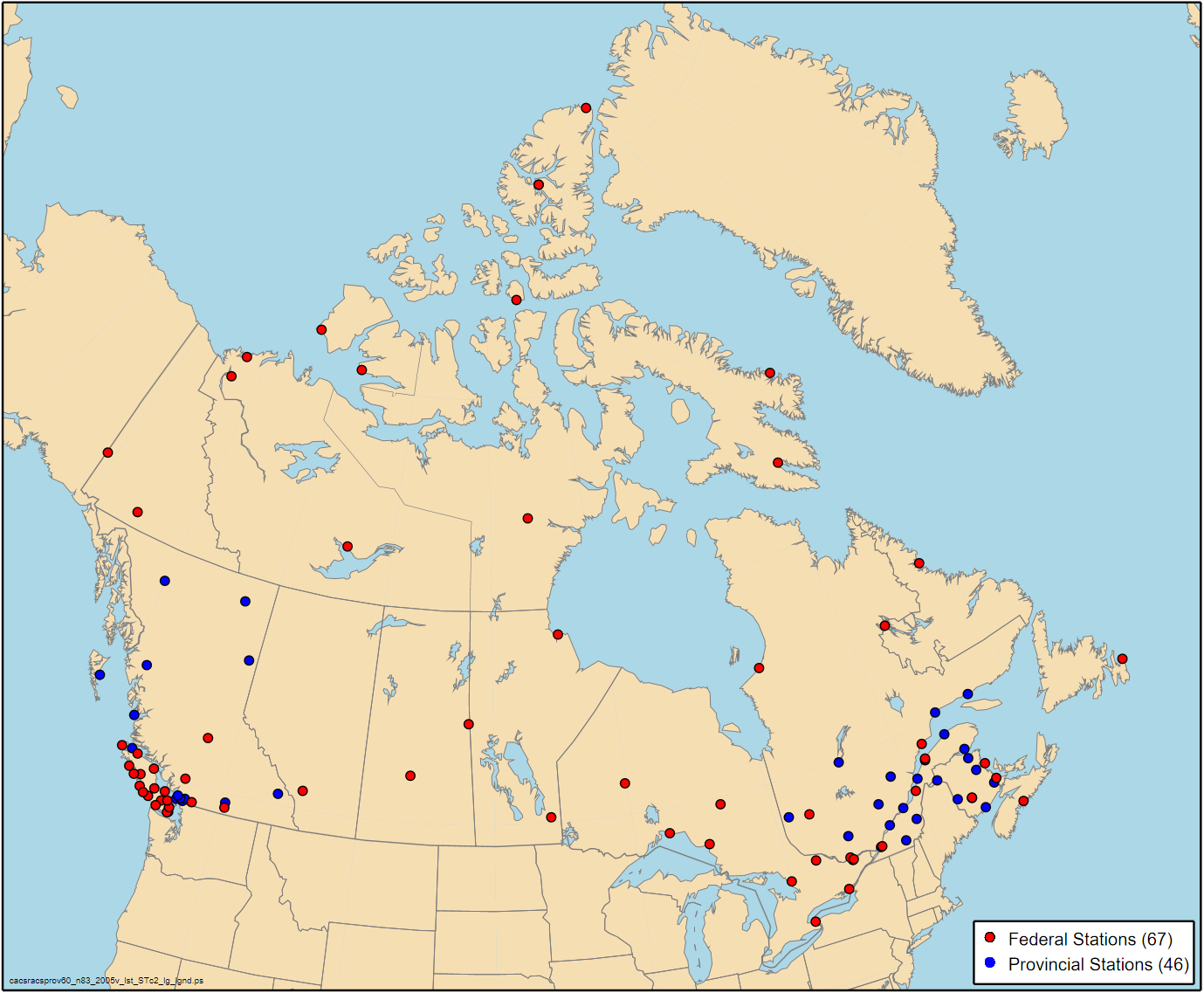
The largest GPS networks in the United States are the EarthScope Plate Boundary Observatory (Figure 1) operated by UNAVCO and CORS (Figure 2) organized by the National Geodetic Survey. The Canadian government also sponsors many GPS sites (Figure 3). All of these organizations, including the GPS networks highlighted in Figures 4 and 5, have open data policies, whereby anyone can use the GPS data.


Last modified: 2019-12-26 16:24:58 America/Denver


Please send comments and corrections to education unavco.org.
Copyright © 2012 - 2026 UNAVCO and the GPS Reflections Research Group.
All Rights Reserved.