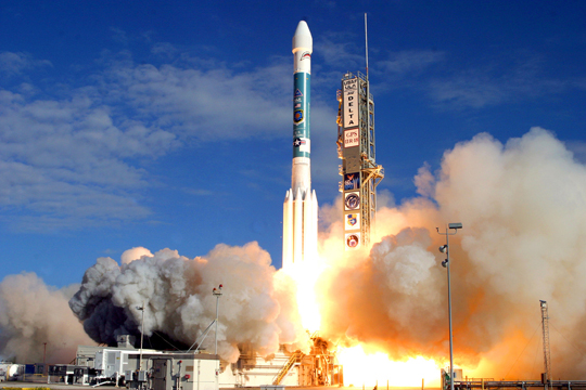
Have you ever wondered how the GPS unit in your phone or car works? Or what the difference is between a handheld GPS and the equipment that surveyors and scientists use? Or who operates the satellites and why it was created? This tutorial will address these questions and provide you with insight into how GPS is used by geoscientists.
The U.S. Department of Defense began developing GPS in 1973. Their goal was to design a system that could provide real-time positioning anywhere on the Earth, any time of day, and in any weather conditions. This may seem like an easy thing to do, but at that time there was no system that could do this. These goals dictated many of the choices made by the system designers, such as the frequencies used to transmit the signals. Parts of the GPS are completely open to the public while other parts of the signal are encrypted. This allows the system to be used by both the military and civilians.
The first GPS satellites were launched in 1978 and a small test constellation was operational by the mid-1980s. The system had reached its global capacity by 1994, and thus was declared officially operational. GPS is now jointly managed by the Department of Defense and the Department of Transportation.
Today GPS is widely used by the military, scientists, fleet managers, surveyors, farmers, logistics managers, and people who just want to know where they are and how to get to where they want to go. In the following pages, you will learn both how your handheld GPS calculates its position and how scientists make it even more accurate.


Last modified: 2019-12-26 16:24:58 America/Denver


Please send comments and corrections to education unavco.org.
Copyright © 2012 - 2026 UNAVCO and the GPS Reflections Research Group.
All Rights Reserved.