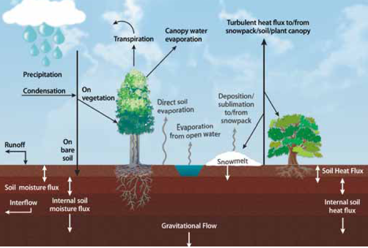
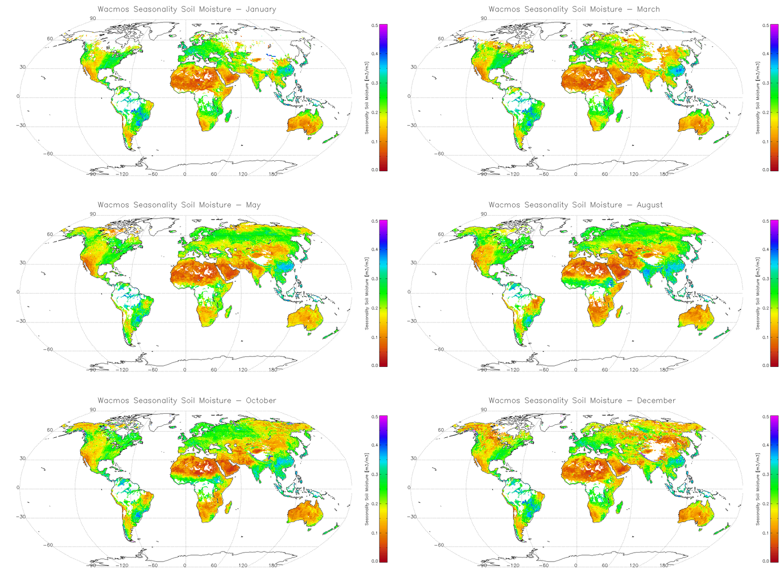
Soil moisture is fundamental to land surface hydrology (Figure 1). Scientists need to know the global distribution and temporal variations of soil moisture (Figure 2) so that they can know how much of the precipitation that falls to Earth evaporated back into the atmosphere. Why is this important to know? If scientists know how much of the water has stayed in the soil, they will know how much is available for plant growth.
Recently SMOS, an ESA satellite, was launched to measure soil moisture on a global scale. The U.S. also launched the SMAP satellite in January 2015. There are also in situ soil moisture networks (SCAN, COSMOS, USCRN) but since they use a variety of different sensors, it can be difficult to use them in a consistent way.


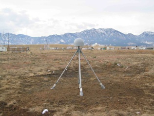
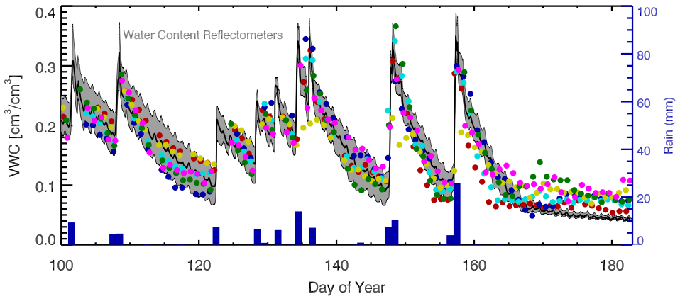
High-precision GPS receivers - such as the one shown in Figure 3 - can sense soil moisture fluctuations over an area of ~1000 square meters, and thus are a potential source of both climate data and validation data for satellites. Figure 4 shows the first soil moisture results determined from a GPS receiver. The main feature you see with shallow soil moisture sensors like this is an immediate response after rainfall. Then over days to weeks, the soil dries out, and soil moisture decreases. In this example, the GPS soil moisture measurements are compared to in situ sensors that are buried in the ground.


Last modified: 2019-12-26 16:24:59 America/Denver


Please send comments and corrections to education unavco.org.
Copyright © 2012 - 2026 UNAVCO and the GPS Reflections Research Group.
All Rights Reserved.