Questions for Eric Leuliette
How did you become a scientist/engineer?
My parents encouraged my interest in science. My mother had a degree in earth sciences, and one of my grandfathers would have liked to become a scientist. When I was ten, I started to read every book on physics and space exploration that I could get my hands on. Later, I wrote to some famous scientists to ask for advice and talked to more scientists at a science camp. Studying physics offered a wide variety of ways to become a scientist. So, that's what I majored in when I went to college at Carnegie Mellon and in graduate school at the University of Colorado.
What is your job like?
Most days, I spend part of my time talking to other scientists and engineers. I read and write papers and reports and write computer code to process data. Designing, building, and launching new satellites take a long time. Part of my job is to help NOAA to plan the satellites that will observe sea level for the next twenty years.
What are you hoping to learn from your research?
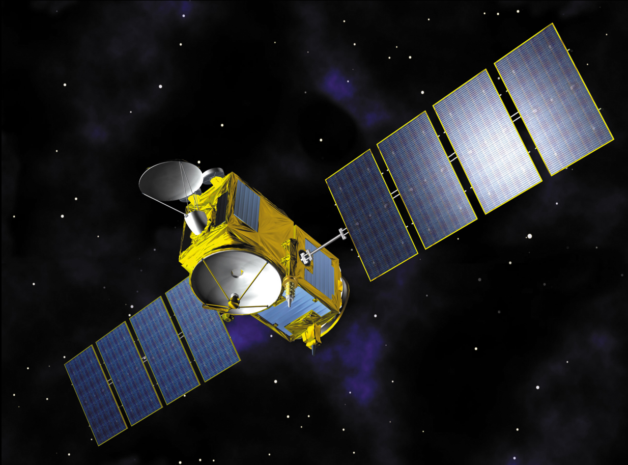
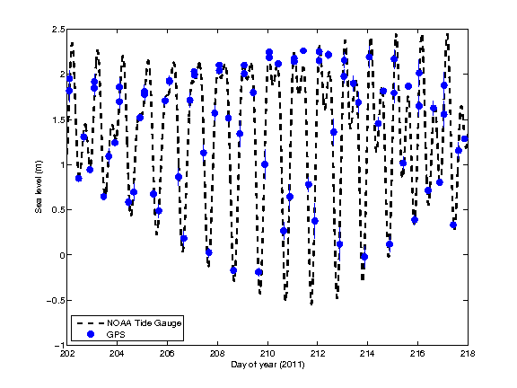
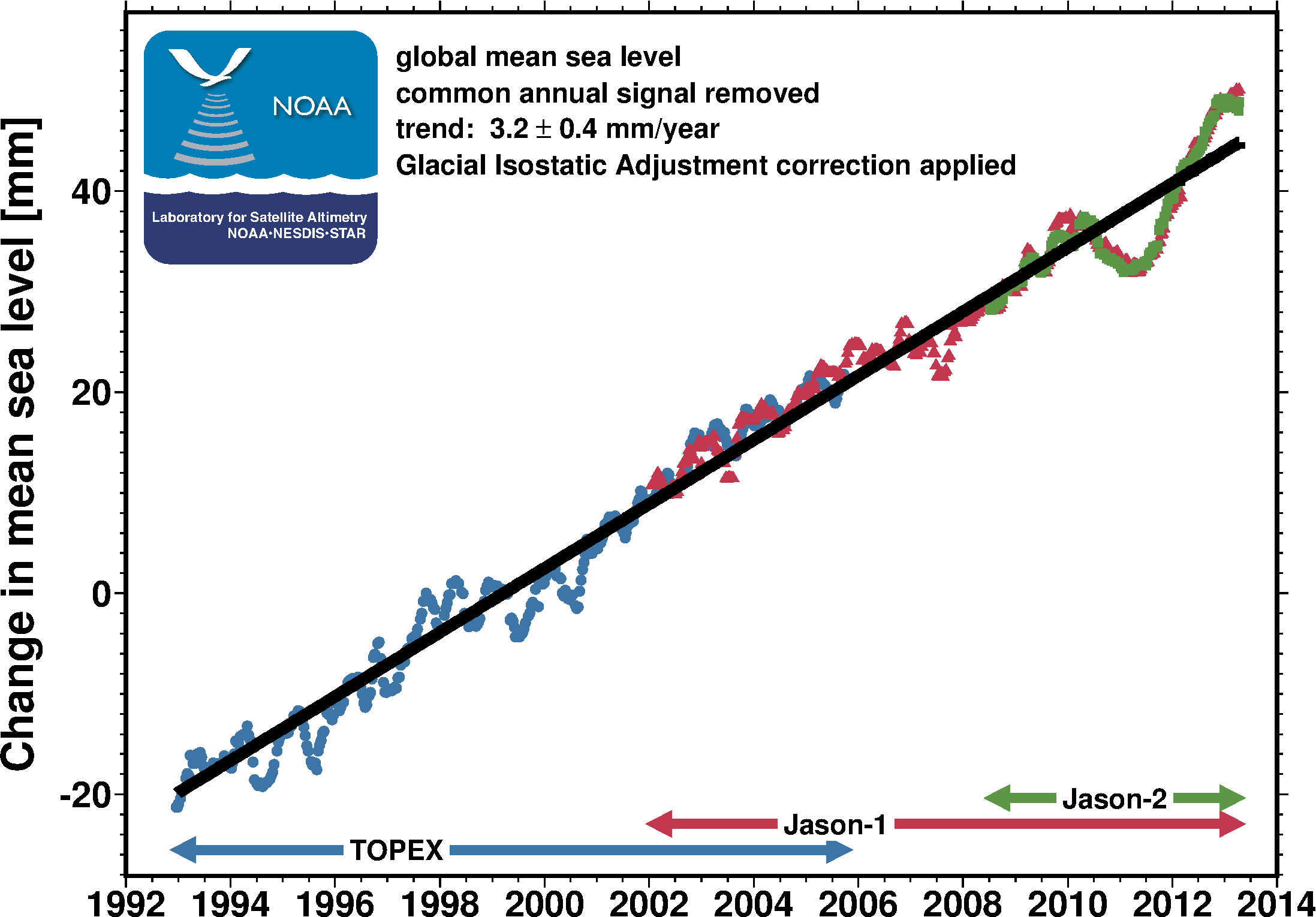
By measuring the ocean's height, temperature, salt, and mass, we can better understand sea level change. Two satellites called GRACE are used to weigh the ocean every month. A few thousands robots called Argo roam the ocean and take temperatures and salt measurements. From Jason, Argo, and GRACE, we hope to understand how the ocean responds as the climate changes.
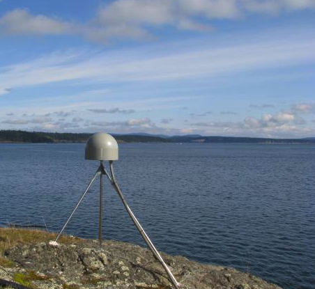
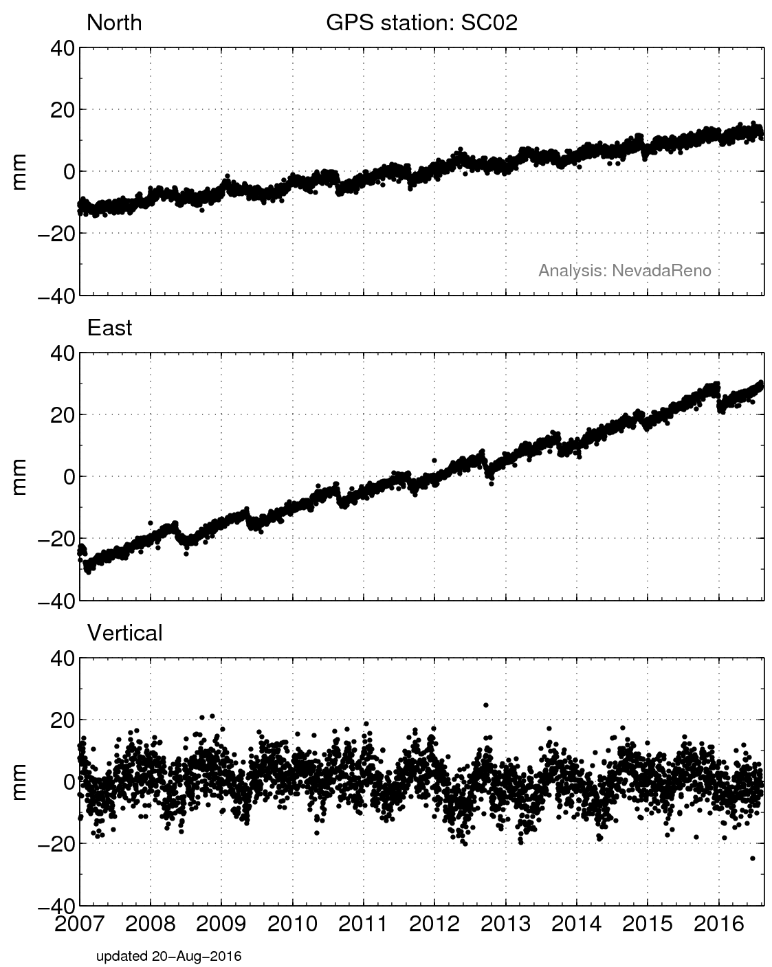

 unavco.org.

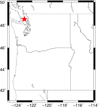
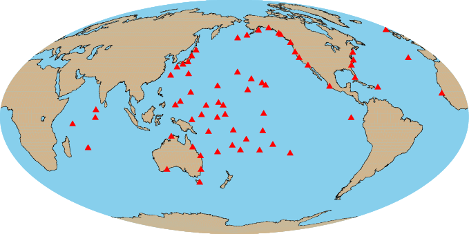
 Spotlight Map
 GNSS Videos
 Funding and Acknowledgements