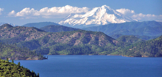
Scientists use GPS to monitor crustal loading from Lake Shasta
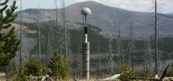
GPS is used to monitor deformation from the Yellowstone volcano
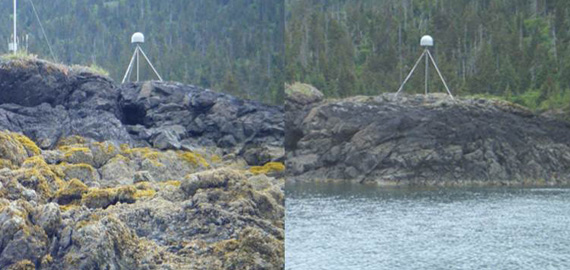
Coastal GPS receivers can be used to measure sea level
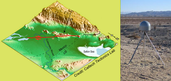
GPS sensors can measure how much the earth moves during an earthquake
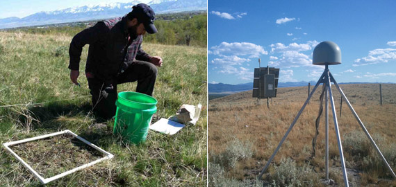
GPS receivers can be used to measure vegetation growth
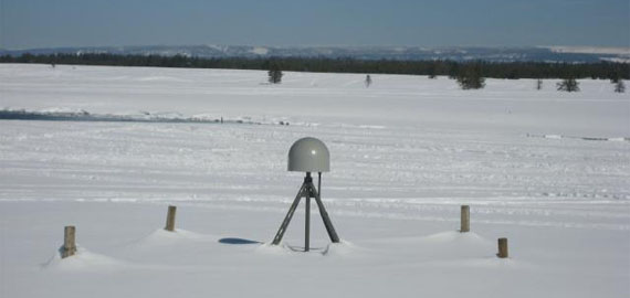
GPS can be used to measure snow depth