Questions for Christine Puskas
How did you become a scientist/engineer?
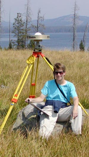
I have always been interested in science and nature, and enjoyed travel as well. When I was young, my family would spend summers in Michigan by the shores of Lake Michigan, and I would go rockhounding on the beach, where it was possible to find crinoid fragments and calcite crystals among the shale banks. As an undergraduate, I majored in geology at the University of Illinois where I was introduced to tectonics and the ice ages and the long and fascinating history of the Earth. While looking for a graduate school, I was offered a chance to work with GPS data in Yellowstone and Utah by Bob Smith at the University of Utah. This was a chance to measure tectonic and volcanic processes directly, and the research since has been very exciting.
What is your job like?
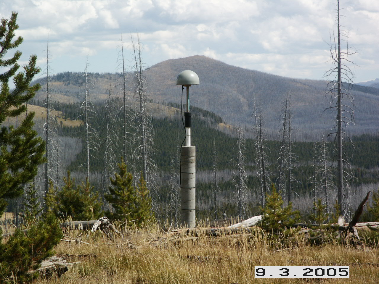
As a graduate student, GPS field campaigns were only done every 1-5 years, depending on geologic events such as rapid ground uplift at the Yellowstone caldera from 2004-2009. When not in the field (i.e., usually), I spent my time processing GPS data, learning new software packages, doing modeling with the software, preparing maps and figures for myself and others in my research group, assisting with reports, proposals, and presentations, preparing my own presentations, writing simple programs for statistical analysis, and writing up my thesis and dissertation. I served as part-time duty seismologist for the University of Utah's Yellowstone seismic network, receiving alerts and reviewing earthquakes that occurred outside normal office hours. This got very exciting a couple of times, when large earthquake swarms in Yellowstone kept our pagers going at all hours.
At UNAVCO, I prepare reports and do statistical analyses of our data, prepare presentations for various scientific meetings, learn new software packages, and work on miscellaneous projects. For example, I just finished reviewing other public GPS networks and preparing a list of stations to add to our data processing. This will improve our network coverage of eastern North America. I am now working with a program that models seasonal ground deformation loading from soil moisture, snowfall, and vegetation. In the near future I will be helping to update the documentation for various data products on our web site. I also participate in event responses. When a felt earthquake occurs, I produce lists of stations likely to be affected as well as other figures to help assess whether any GPS instruments recorded the earthquake.
What are you hoping to learn from your research?
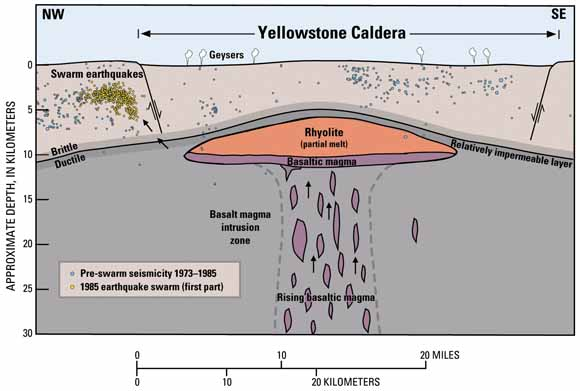
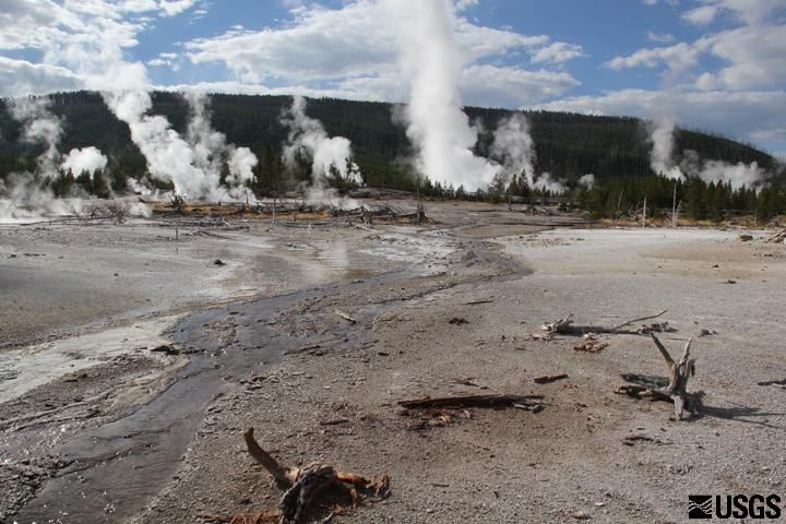
For my graduate research, I am interested in the volcanic processes that drive uplift and subsidence of the Yellowstone caldera, the effects of the Yellowstone hotspot on regional tectonics, and the kinematics of the Wasatch fault zone (i.e., how deformation is distributed between the Wasatch and other local faults, and how fast the faults are slipping). At UNAVCO, my goals are to gain a broader and deeper understanding of GPS and other geodetic instruments, from how data are acquired to how they are processed and how the results can be applied to problems in tectonics, seismology, volcanoes, hydrology, climate and weather, and other fields of research.

 unavco.org.

 Spotlight Map
 GNSS Videos
 Funding and Acknowledgements