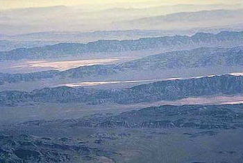
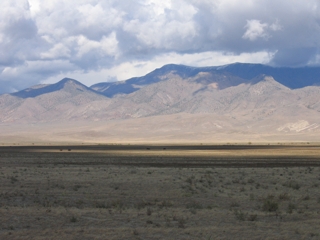
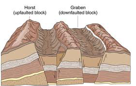
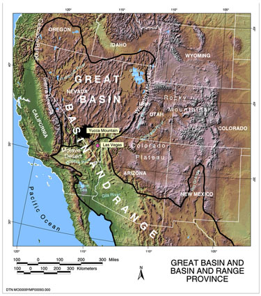
The many mountains of the Basin and Range in Nevada were created in response to slow, region-wide tectonic extension that is breaking the Earth's crust along fault lines.
Here, the Earth's surface is part of an 800-km-wide zone of slow deformation of the North American plate. The terrain is responding to the motion of the Pacific plate to the northwest and the weight of the high elevation intermountain western U.S. Cumulative displacement along these faults over long periods of time built, and is still building, topographic relief, i.e. the valleys and ranges. Earthquakes associated with infrequent slip on these faults generate the seismicity felt by people who live in the Great Basin and Sierra Nevada.
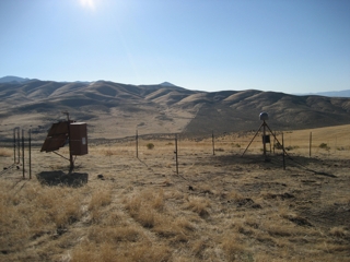
In my research I use GPS to measure the processes behind growth of mountains and generation of earthquakes in the Basin and Range and Sierra Nevada. GPS provides precise measurements that let us understand the style and distribution of Earth surface deformation that is a direct consequence of continent-scale tectonic processes.
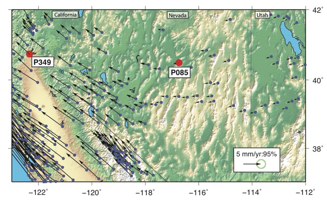
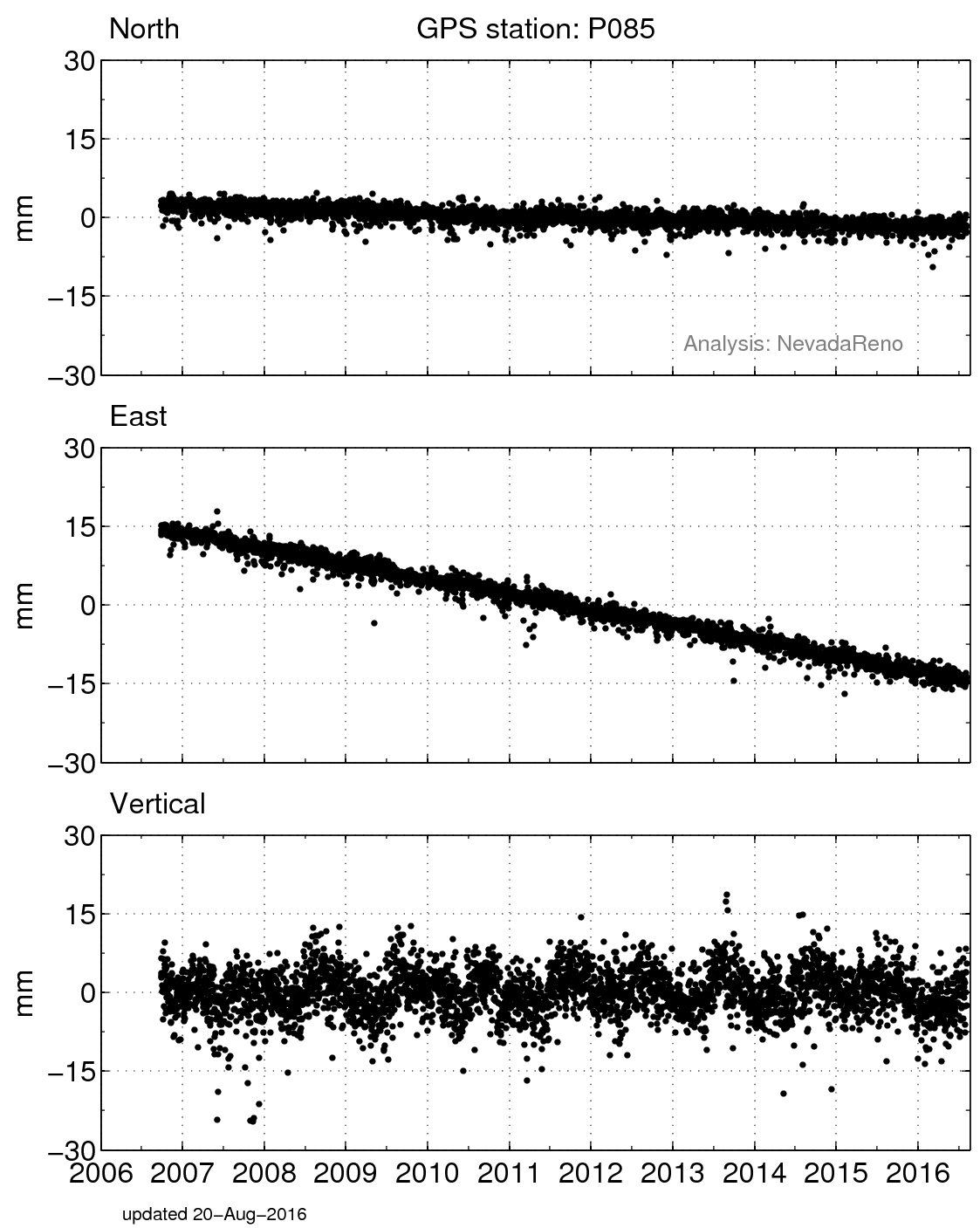
Data from station P085 shows that central Nevada moves 2.9 mm/yr (yes, *millimeters* per year!) with respect to points east of Salt Lake City, Utah. We can also see that points in California move a little faster than station P085, showing that the crust is stretching west of P085. For example,
PBO station P349 moves west 6.6 mm/yr, so there is ~3.7 mm/yr of east-west stretching between those two points.
In tectonic geodesy we are interested in the slope of the GPS position time series that indicates the steady rate of motion of the station. The data show a position for each day (blue dots). Slow and steady motion is the effect of the drift of Earth's crust under central Nevada with respect to the rest of the North American plate.
Measurements of this sort have been made at many stations in the Great Basin and rest of the world. Figure 3 shows the measurements from hundreds of stations in Nevada. These show a slow steady changes of rates across the region, a smoothly varying deformation field illustrating the stately flow the Earth's crust.

 unavco.org.

 Spotlight Map
 GNSS Videos
 Funding and Acknowledgements