Science Spotlight

Station MASW


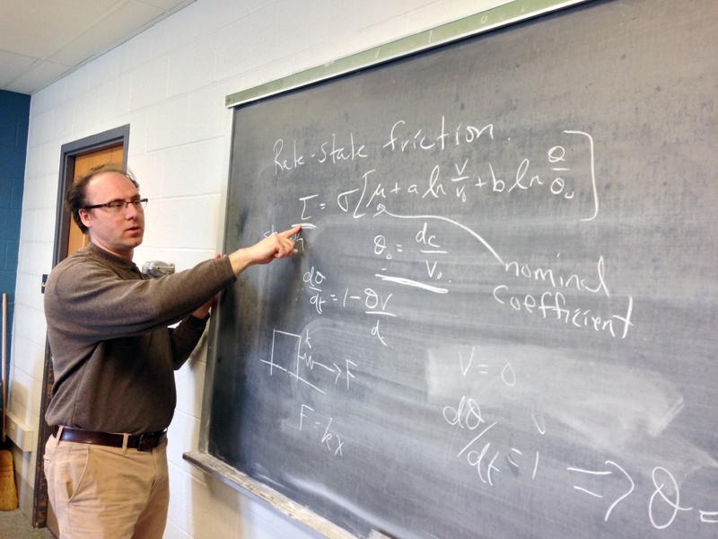
Researcher: Kaj Johnson
Indiana University

I looked for a career where I could apply math and physics to solve problems.


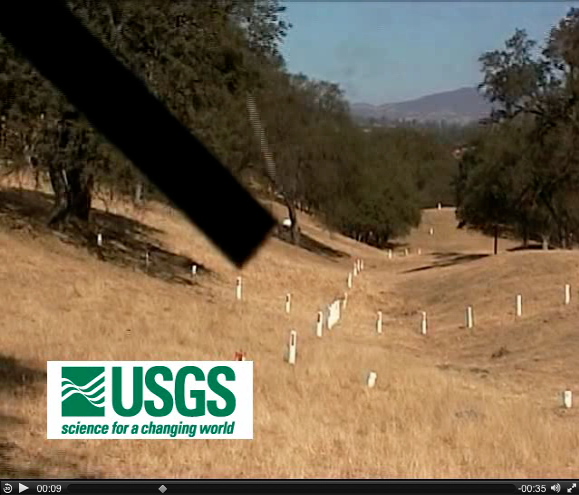
Site MASW is located about 10 km from the San Andreas Fault.


Name: MASW SCGN
State: CA
Country: United States
Elevation: 713.7 m
Lat/Long:  35.8326 / -120.4431

Parkfield Earthquake

MASW is located near Parkfield, California. This town gave its name to a very famous earthquake prediction experiment. Although scientists started getting ready for this earthquake in the 1980s, it didn't happen until September 28, 2004.

MASW is located only about 10 km away from the San Andreas Fault. The GPS site measures the ground surface during the build-up and release of energy associated with a moderate-sized earthquake on the San Andreas Fault.

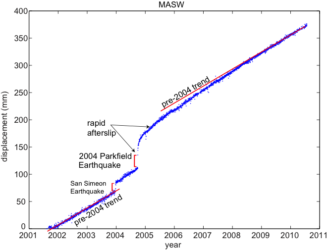
Figure 2 shows the total displacement of the site over eight years. From late 2001 to the very beginning of 2004, MASW moved at a steady rate along the "pre-2004" trend line. This trend is interrupted by a sudden motion caused by the late 2003 San Simeon Earthquake (not on the San Andreas fault) and then again in early 2004 by the Parkfield earthquake on the San Andreas fault. Note that the site moved about 30 mm very suddenly during the 2004 earthquake and then continued to move rapidly (compared to the rate before the earthquake) for several more years. In fact, you can see from the trend line that the site did not return to the pre-2004 rate of motion until at least 2009.

The motion of MASW in 2004 was due to sudden sliding of the San Andreas Fault during the earthquake. The continued rapid motions of site MASW from 2004-2009 were due to continued slow sliding (slower than during the earthquake) on the San Andreas Fault after the earthquake in a phenomenon we call “afterslip."

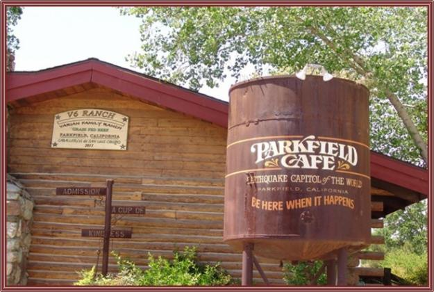
Figure 1. The Parkfield Cafe in Parkfield, California. "Be here when it happens"!


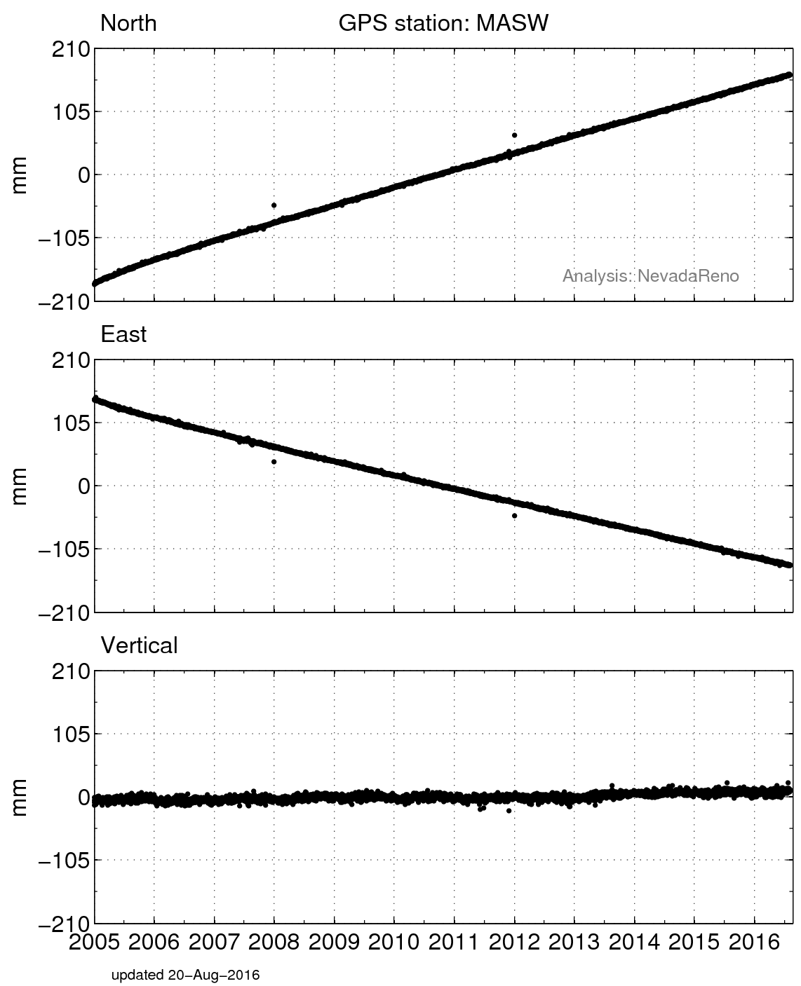
Figure 2. Horizontal displacement of MASW starting in late 2001. Credit: Kaj Johnson. How much did MASW move in the San Simeon earthquake? How about in the Parkfield earthquake? What information does this plot have that Figure 4 does not? What information does Figure 4 have that this plot does not?


Figure 4. Position changes for MASW in a North American fixed reference frame. (For help interpreting the graphs, see the GPS Data page.)

Spotlight Questions

  • At this site, which is bigger, the coseismic offset or the postseismic deformation?
  • Can you tell from the position time series if MASW is on the east side or the west side of the San Andreas Fault?

Last modified: 2019-12-26  16:24:54  America/Denver  


Please send comments and corrections to educationunavco.org.

Copyright © 2012 - 2024 UNAVCO and the GPS Reflections Research Group.
All Rights Reserved.

Funding and Acknowledgements.