Questions for Michael Poland
How did you become a scientist/engineer?
I think my first interest in volcanoes started in 1980. I was 4 years old when Mount St. Helens erupted, and I remember being glued to the television watching updates about the event. As I went through grade school, I was always interested in reading and learning more about volcanoes (I even remember ordering the book "Mount St. Helens: Big Blast" from the scholastic reader order forms they used to hand out in grade school). My father and I also took camping trips to some of the big mountains in northern California, like Lassen Peak and Mount Shasta, and we explored the geology of those areas.
While interesting, I never seriously thought about becoming a geologist - I always said that I couldn't see myself dusting off rocks in the desert. The summer before I started college, however, I heard a radio interview by a UC Davis professor about the movie Jurassic Park. The professor sounded really interesting and, since I was going to attend UC Davis, I enrolled in the intro geology class he was teaching during my first quarter. That great class led me to enroll in more geology classes, and before I knew it I was a geology major. One professor took me under his wing and asked me what part of geology I wanted to focus on, and I said planetary. He shook his head and said, "You realize that there are no jobs in that field. What else interests you?" I said volcanology. He replied, "Not many jobs there either, but let's see what we can do."
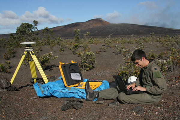
I did a lot of work with professors at UC Davis in the years I was there, including some undergrad research projects in northern California and as a field assistant in Hawaii. I was able to go to grad school at Arizona State University, which I chose specifically because of one professor who was an expert in volcanology. I told him my goal was to work at the U.S. Geological Survey's Cascades Volcano Observatory (CVO). Mount St. Helens was still on my mind. Some of the research I did in Arizona was in collaboration with CVO scientists, and one of them offered me a post-doc to work on interferometric synthetic aperture radar (InSAR—a technique that measures ground deformation from space) after I graduated from Arizona State. After 3 years at CVO, a permanent position opened at the Hawaiian Volcano Observatory for a deformation specialist. I was offered that job and have been working in Hawaii since 2005. It has been a spectacular posting.
If I could offer any advice to young students—who aspire to careers in volcanology or anything else—it would be to put yourself in a position to take advantage of opportunities that will arise in the future. In a real sense, you create your own luck. When an opportunity arises, you want to be poised to take advantage of it, be it a dream job, a chance to add to your skills, a new learning opportunity, or anything else. Don't wait for "luck" to find you. Make your own luck.
What is your job like?
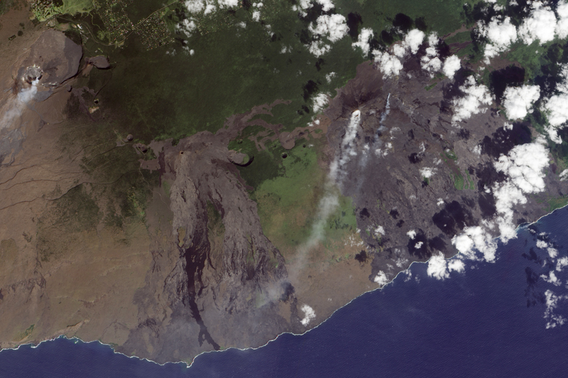
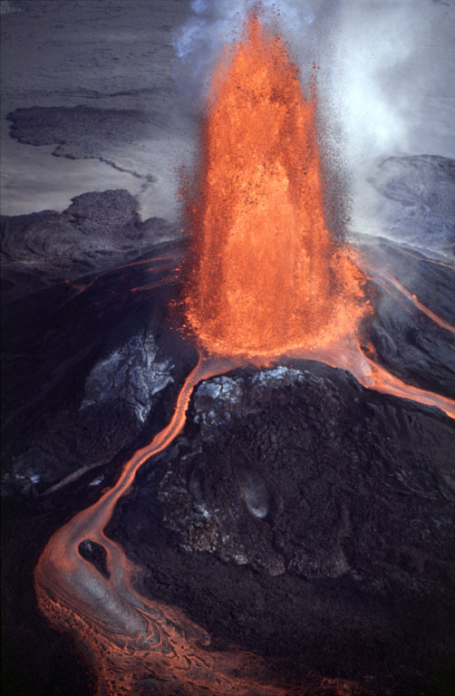
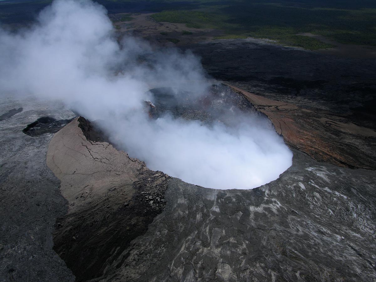
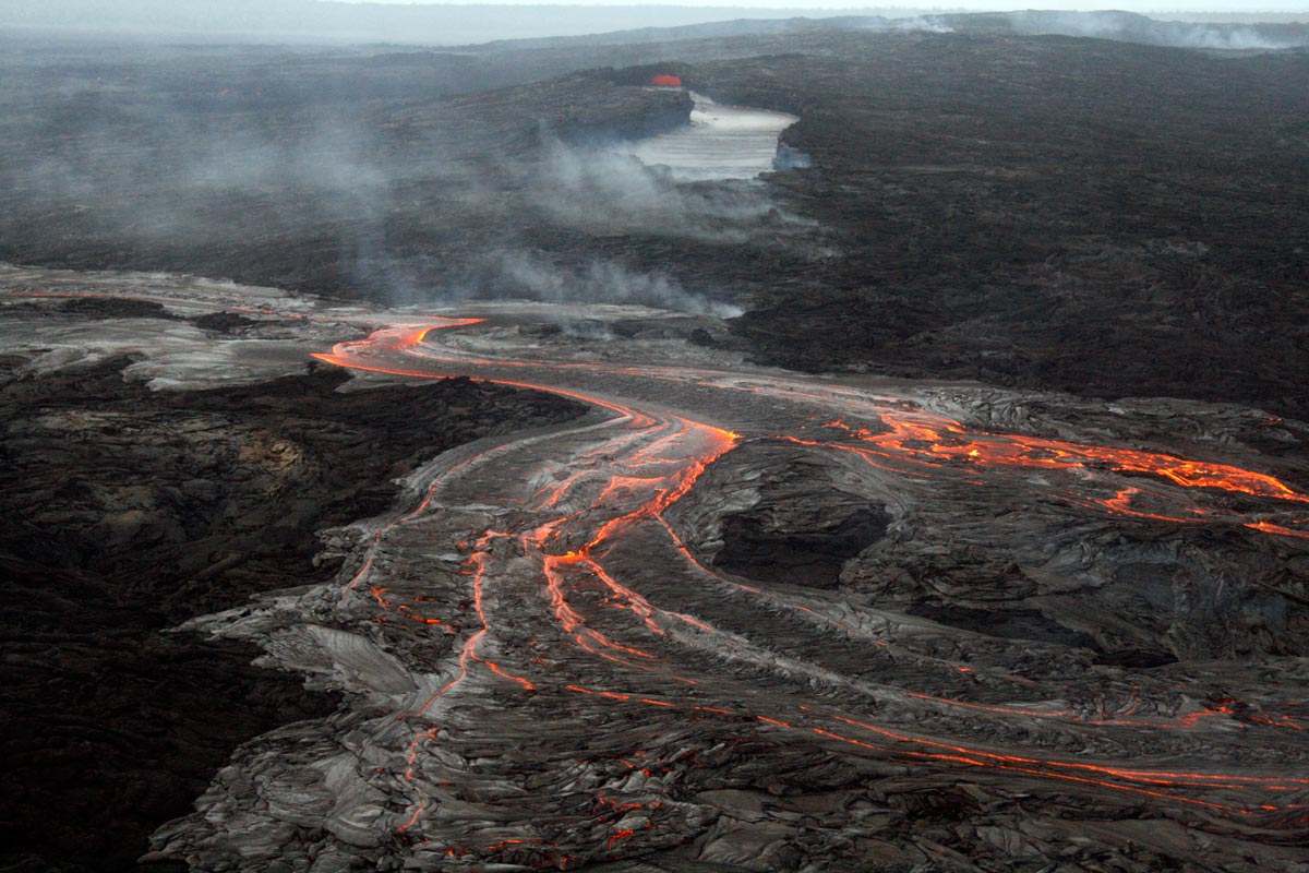
I've felt strong earthquakes (up to M6.7), seen several fissure eruptions, witnessed lava fountaining, and stood on the rim of the largest lava lake in the world, among many other unique experiences. Perhaps the best part about Hawaii, and Kilauea in particular, is that it is so dynamic. The volcano is always changing, almost on a daily basis. The work is never boring.
What are you hoping to learn from your research?
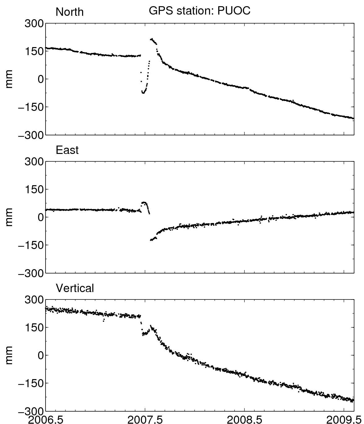
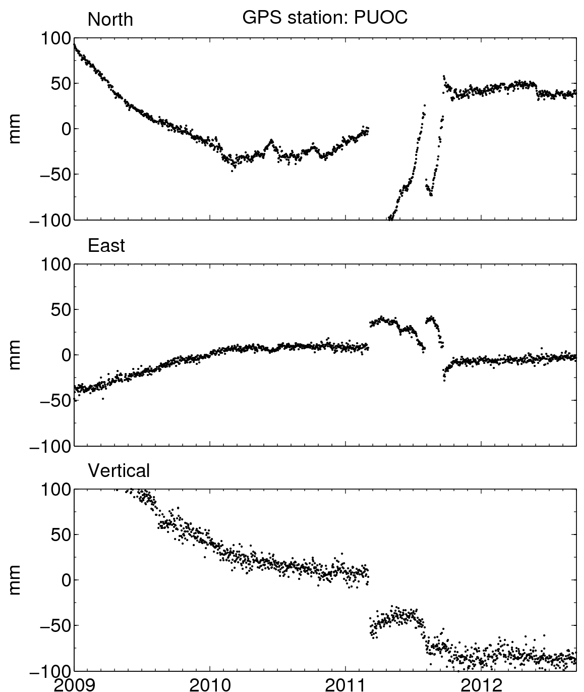
While in Hawaii, I have become interested in tracking the supply of magma from the Earth's interior to the volcanoes, mapping the underground magma plumbing system beneath Kilauea, and studying how the gravitational field changes due to volcanic activity.


 unavco.org.