Questions for Grace Nield
How did you become a scientist/engineer?
For me, getting into science was a bit of a happy accident. I never really had any idea what I was going to do and assumed I would end up working in banking or some kind of business. After taking a business studies class at school I decided it definitely wasn't for me, and I applied to do a Bachelors degree in combined science, basically so I wouldn't have to decide exactly what to study until I got there! In my first year I took Maths and Geology. I was a bit baffled by Maths but found Geology really interesting, so I transferred onto the Geology and Geophysics programme in my second year.
I went on to complete a Masters degree in Engineering Geology and worked in the Engineering industry for a few years. The part of this job that really interested me was numerical modelling. It was highly specialist, challenging and required perseverance and great attention to detail. I soon realised that these are all skills that scientific researchers need, so I decided to embark on a PhD in Geodesy. In truth, I've loved every minute of it (so far)! It's interesting, challenging, satisfying - particularly when I've been working on a problem for a while and I manage to solve it - and I love learning new things. Science is just cool.
What is your job like?
Day to day I spend most of my time in the office running computer models to simulate how the Earth responds to changes in ice sheets and comparing results with GPS data. I also try to keep up to date with the latest research, write a report now and then, and get involved in outreach activities. My colleagues are always around to offer support or advice over a coffee, and this proves to be a great way to solve problems and come up with new ideas!
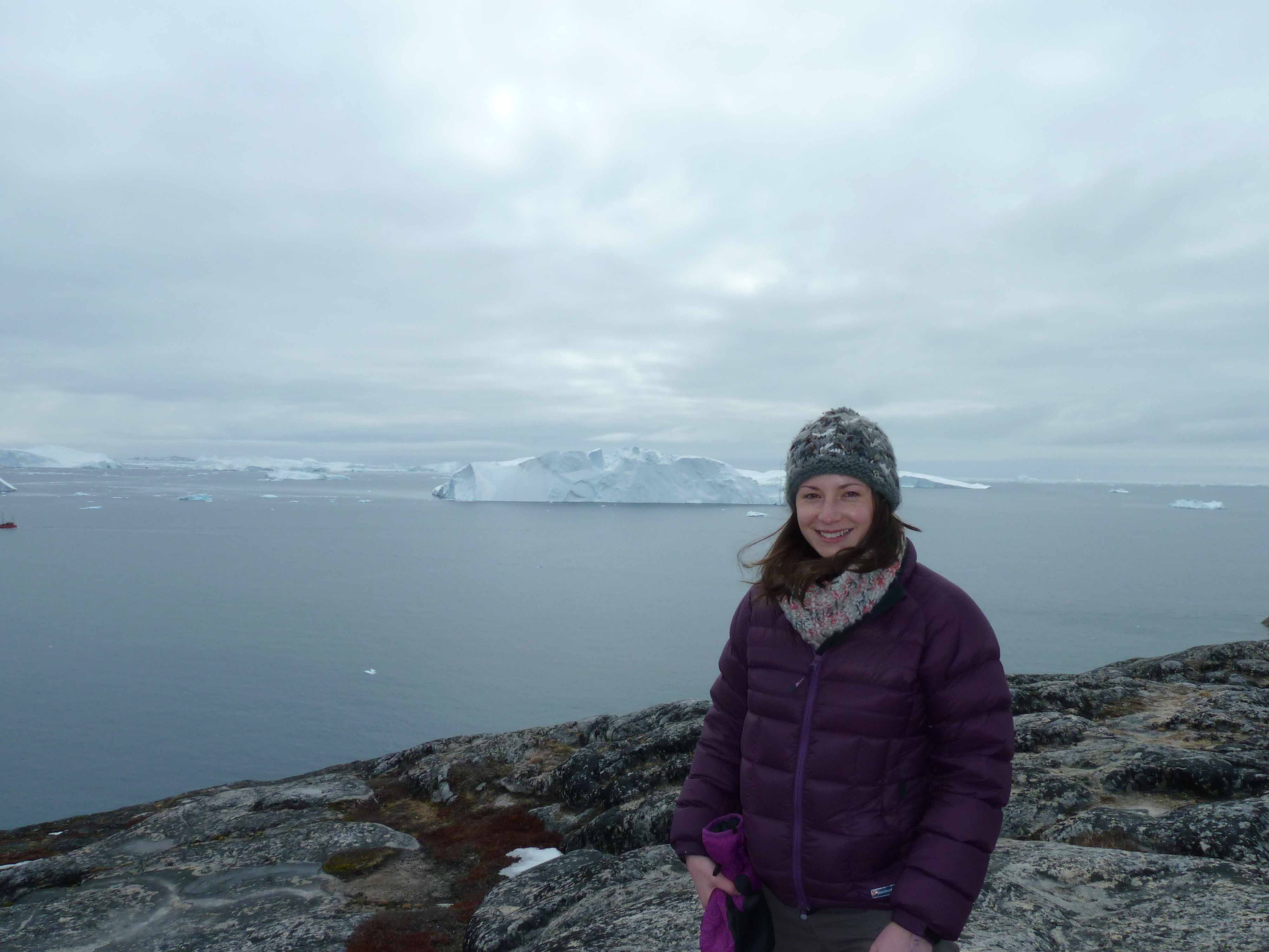
Although I'm not doing any field work as part of my PhD, I'm lucky enough to travel around the world to conferences to present my research and learn from the experts.
What are you hoping to learn from your research?
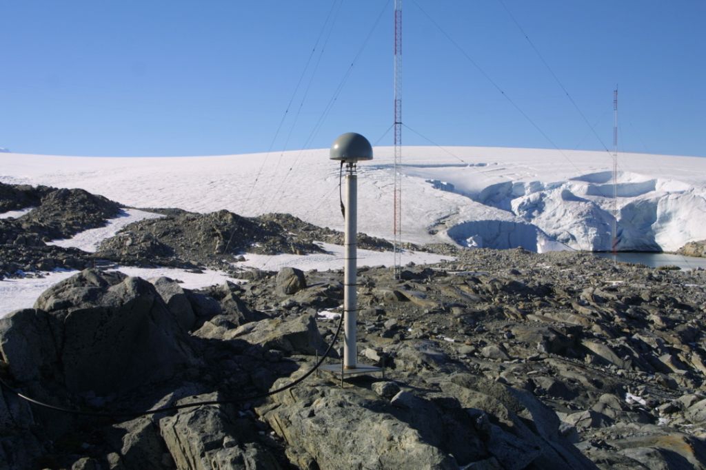
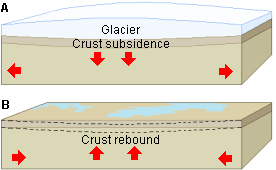
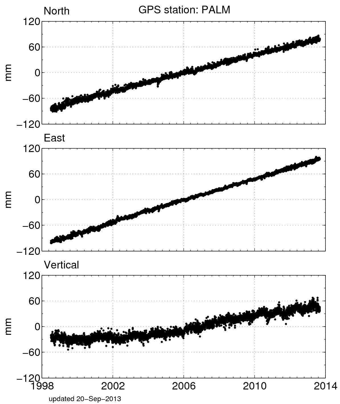
My research focuses on a small but important region of Antarctica on the Antarctic Peninsula. I aim to model the Earth's response to changes in the ice sheet over the last 20 years, and this is where GPS measurements can really help. GPS stations are actually measuring this process now. The geophysical model needs a lot of input information, such as values describing the structure of the Earth, and currently we don't have all the information we need. So we test a range of values for Earth structure and by matching the output with GPS measurements we can find out which input parameters are the most likely. Without the GPS data we'd just be making an educated guess!
Improving our knowledge in this area can help with wider studies such as determining how much ice is being lost from Antarctica, and how that contributes to sea level rise.

 unavco.org.

 Spotlight Map
 GNSS Videos
 Funding and Acknowledgements