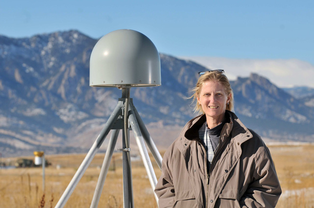
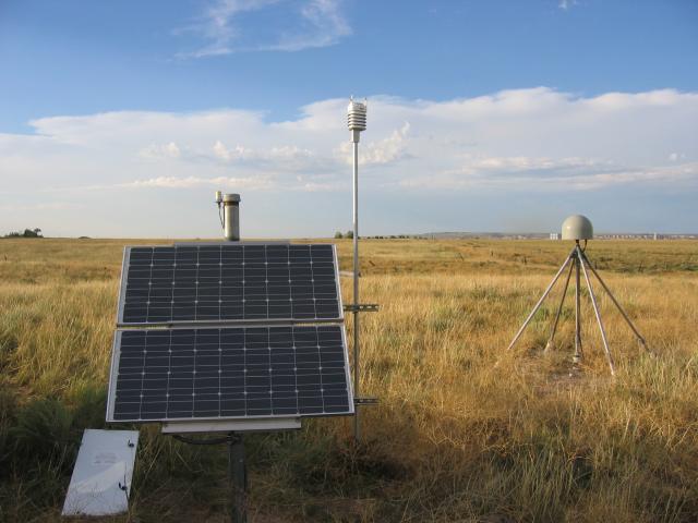
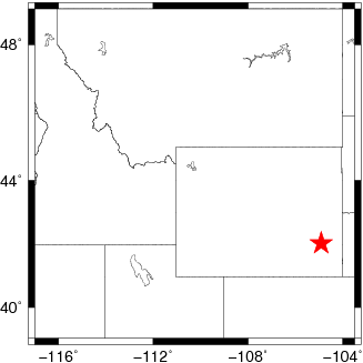
Science Spotlight

Station P042


Researcher: Kristine Larson
University of Colorado

I like to think of GPS as the Superman of Geodesy.


P042 is located in the eastern plains of Wyoming.


Name: WHEATLAND
State: WY
Country: United States
Elevation: 1422.4 m
Lat/Long:  42.0515 / -104.9106

2012 Drought in the Western United States

The P042 GPS site was installed to support measurements of plate boundary deformation. However, it is also providing useful information about the environment. The PBO H2O group has developed methods to use reflected GPS signals to determine vegetation growth. Figure 1 shows the vegetation growth cycle over the last six years. In 2007 and 2009-2011, vegetation growth generally peaked in June. In 2012 we saw no growth at all. As with most of the western United States that year, temperatures at Wheatland were much higher than average and there was very little precipitation (Figure 2).

Figure 3 shows a close up of an interesting feature from this site. In 2008 there is a "double peak" in vegetation growth. If you look more closely at the precipitation data, there was a little rain in April and May, but not in June. The vegetation began to die. Then there was more rain in August. The vegetation responded by a second growth spurt.

P042 is also being used a soil moisture sensor (Figure 4). These data are used by climate scientists.

Figure 1 The vegetation growth cycle for the years 2007-2012 as measured by the GPS vegetation statistic NMRI.


Figure 3. GPS vegetation statistics (NMRI) show an interesting double peak in 2008. This event correlates with low precipitation rates from mid-June thru July followed by much higher precipitation rates in August. Data collected by a NASA satellite that measures greenness (NDVI) also shows a shows a double peak in 2008.


Figure 2. Cumulative precipitation records show that 2012 (red) had significantly less rain than in previous years. Temperatures (shown in the same colors) were also much greater in 2012, particularly in May and June.


Figure 4. P042 is also a core soil moisture site. You can see the immediate response to rain events (both from the met sensor and the NLDAS model), and the longer drying cycle.

Spotlight Questions

  • Find the US Drought Monitor website. Was this part of Wyoming listed in the most extreme category for drought?
  • Can you find another PBO site that shows the effects of the 2012 drought? Use the PBO H2O Portal.

Last modified: 2019-12-26  16:24:53  America/Denver  


Please send comments and corrections to educationunavco.org.

Copyright © 2012 - 2024 UNAVCO and the GPS Reflections Research Group.
All Rights Reserved.

Funding and Acknowledgements.