Questions for Jennifer Haase
How did you become a scientist/engineer?
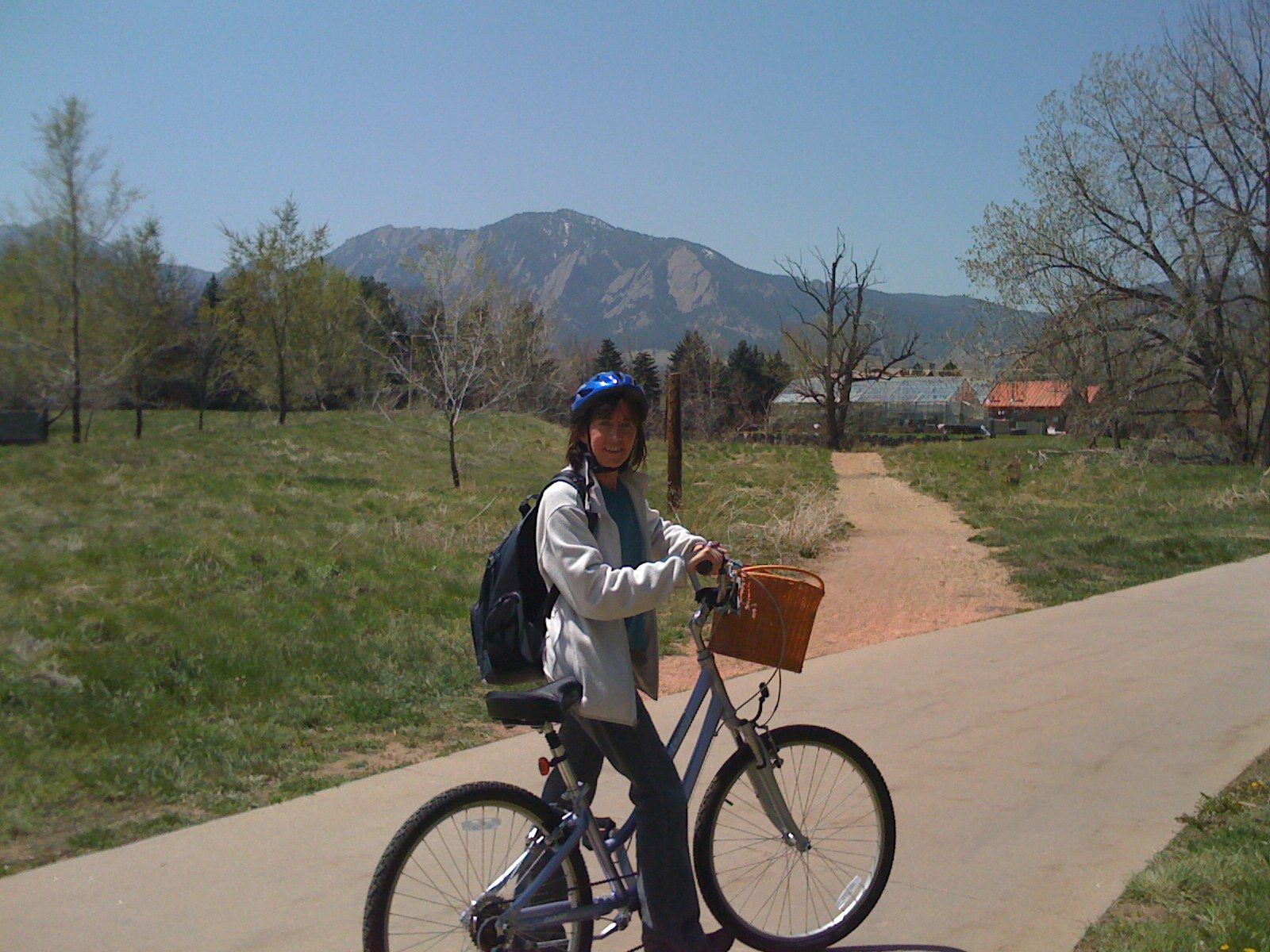
When I was a kid, I loved school. Everything from art and reading to math and the monkey bars at recess, but I especially loved reading. There were so many fun things to learn about, even if sometimes it took a little while to figure things out. I also loved to make things; I especially liked to sew. I would make all kind of projects, and they got more and more complicated and creative, especially Halloween costumes where I would have to combine sewing with other construction techniques, for example, to come up with a trombone-playing dinosaur. Sewing really helped me learn to figure out how to get things to fit together and how to plan a project. I also loved maps. I liked to look at different kinds of maps and figure out what they were trying to explain because that always got me wondering about different places and why things were were located where they were. It was also so much fun to make treasure maps and maps for scavenger hunts, and as I got older I loved to figure out how to get from one place to another when I was hiking or biking. I liked the fact that when you had a map and you knew where you were, you didn't have to ask grown-ups for help. I think that anyone can be a scientist if they can find the things that interest them and start asking themselves why things are that way, or how things work.
What is your job like?
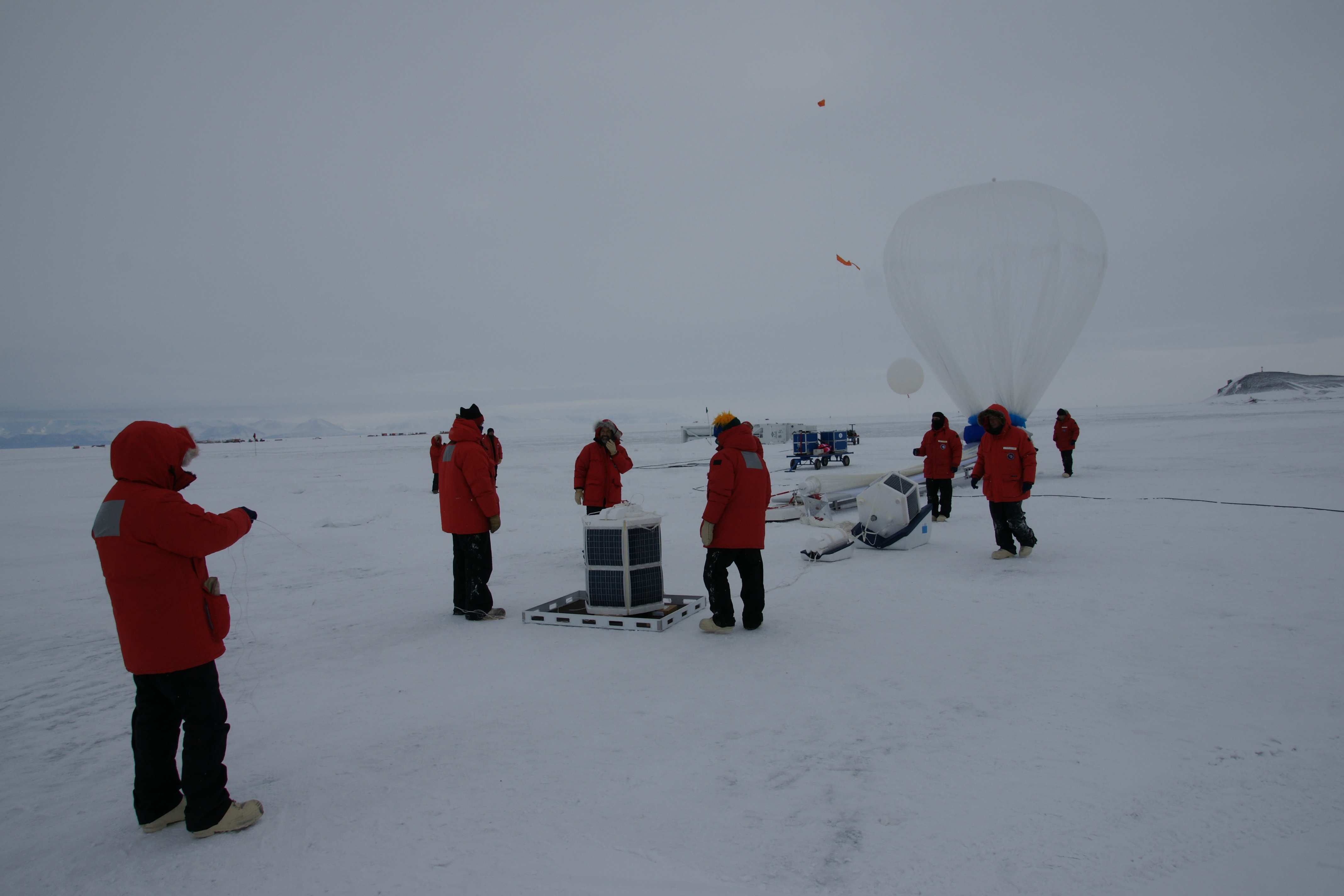
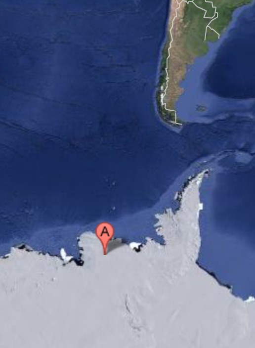
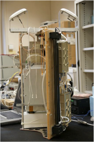
Computers are very helpful for figuring things out. Many people don't realize how much computers rely on people to work. A computer can't do anything until a person actually has an idea, and sits down to try to figure out how to solve it, and then writes instructions for the computer to do the work. Once someone teaches you how to write the instructions, what kind of language to use, it's not that hard. It's important to know how to do that, because if you have a new idea and you want to to do something that has never been done before, you are going to need to know how to program the computer to do it. Computer programming is a large part of what I do, because I am collecting new kinds of data that have never been measured before. Also, there are a lot of data to analyze, to turn GPS measurements of distance into measurements of atmospheric temperature, and I certainly don't want to do that by hand! I want the computer to do the math for me. Things get very busy when I want to take my instruments into the field to make measurements. That takes a lot of advance planning and testing to make sure everything will go well. It is exciting to go to new places to make measurements, but that only happens for a few weeks at a time. I always like to travel around and find out about the people and places where I am working, besides just making the scientific measurements. Being a geoscientist makes it possible for me to travel a lot. I was disappointed that I didn't get to go to Antarctica myself, only my equipment went, but I hope to go there sometime in the future because I love penguins.
What are you hoping to learn from your research?
We are hoping to improve weather forecasting in Antarctica, even though very few people live there. If we can get the weather forecasts right, and we understand how temperature and winds are related, it will be easier to get the climate predictions right that affect melting ice and global sea level rise. We need to be able to explain better what the effects of climate change will be on people and the cities they live in, so they can change their behavior to use less fossil fuel.

 unavco.org.

 Spotlight Map
 GNSS Videos
 Funding and Acknowledgements