Science Spotlight

Station MANM


Researcher: Rebecca Bendick
University of Montana

Here Professor Bendick is sharing tea with a family who lost their home in the 2005 Kashmir earthquake.


The GPS station consists of a fixed GPS antenna and a data logger, attached to the bedrock.


Name: Manom
Country: Tajikistan
Elevation: 2100.0 m
Lat/Long:  37.5423 / 71.6804

Manom, Tajikistan

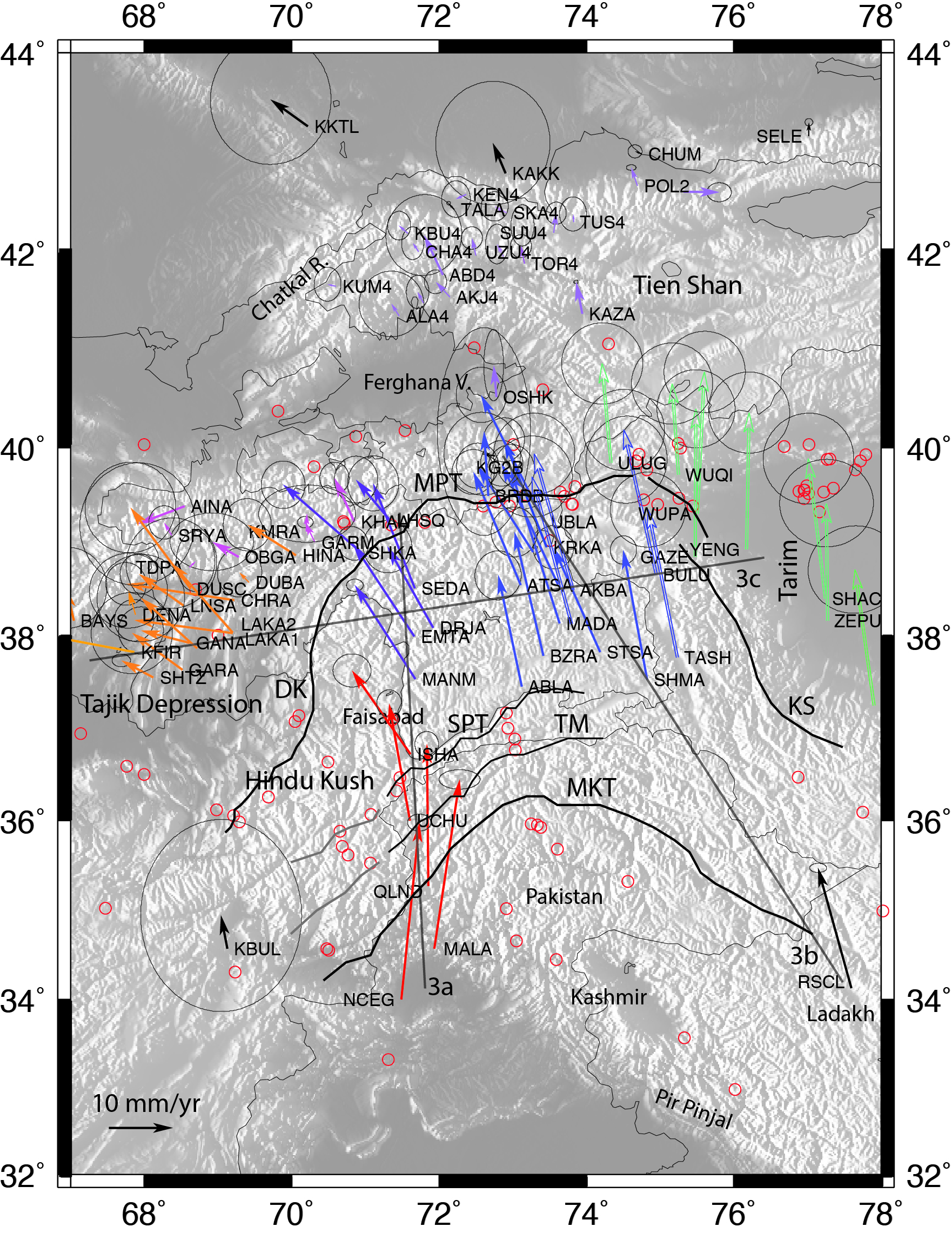
This GPS site in the western Pamir mountain range of Central Asia provides two important kinds of information. First, by comparing the velocity of Khorog to sites further to the west and south, the amount of earthquake danger to cities like Dushanbe (the capital of Tajikistan) and Kabul (the capital of Afghanistan) can be estimated. Second, by comparing the velocity of Khorog to sites located elsewhere in the high Pamir, the rate and mechanism of growth of the mountains can be estimated. The Pamir are often compared with the Tibetan Plateau, and similarities and differences between these two regions of very high elevation help us to understand the basic physical properties of continents, such as whether rocks are “squishy" over geologic time.

Figure 1. This image shows the velocities of sites throughout Central Asia. Each arrow represents a single location where a monument's position is measured over time. The change in position over time is the site velocity. Where neighboring arrows (vectors) differ in direction or length, deformation of the continent must be accommodated either by faulting or by changes to the topography such as growing mountains.


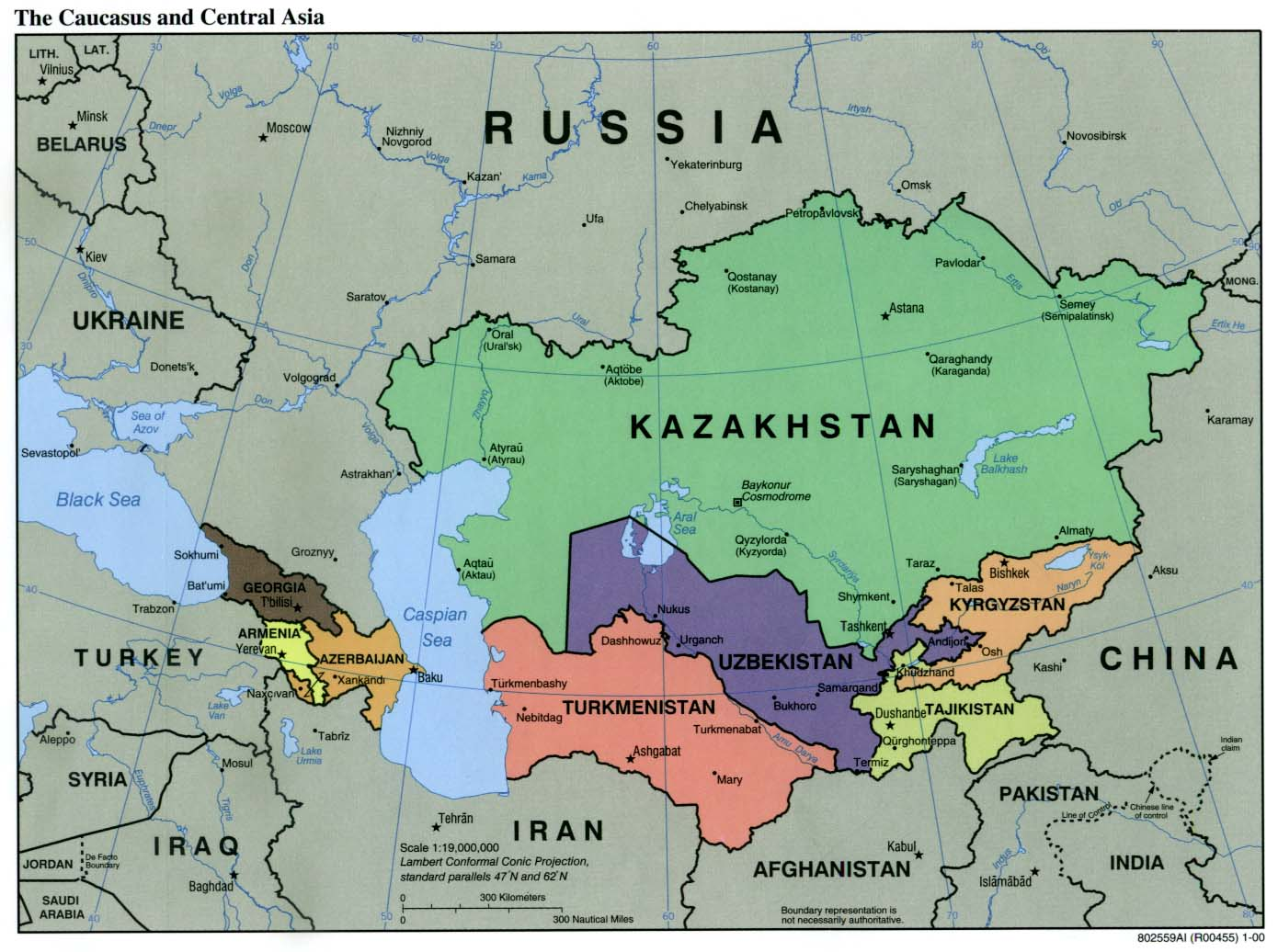
Figure 3.Central Asia is made up of several developing countries, all of which host many geologic hazards, including dangerous earthquakes. This map is from Wikimedia Commons.


Figure 2. The Pamir Mountains average over 4000 m in elevation. They are high and heavily glaciated, and cut by several very large rivers which carry water out to desert areas to the west. Most of the residents are horse-herding nomads.


Last modified: 2019-12-26  16:24:55  America/Denver  


Please send comments and corrections to educationunavco.org.

Copyright © 2012 - 2024 UNAVCO and the GPS Reflections Research Group.
All Rights Reserved.

Funding and Acknowledgements.