Questions for D. Sarah Stamps
How did you become a scientist/engineer?
When I was in third grade, my teacher informed us that rainforests were in danger of being destroyed, and someone needed to save them! Ever since then, I have wanted to be an earth scientist and contribute to making the planet a better place. Later on, in high school, I was introduced to geology and geophysics at the University of Missouri, Rolla, called the Jackling Institute. After scientists showed us an image of a fault deep within the Earth, I was completely hooked on geophysics.
What is your job like?
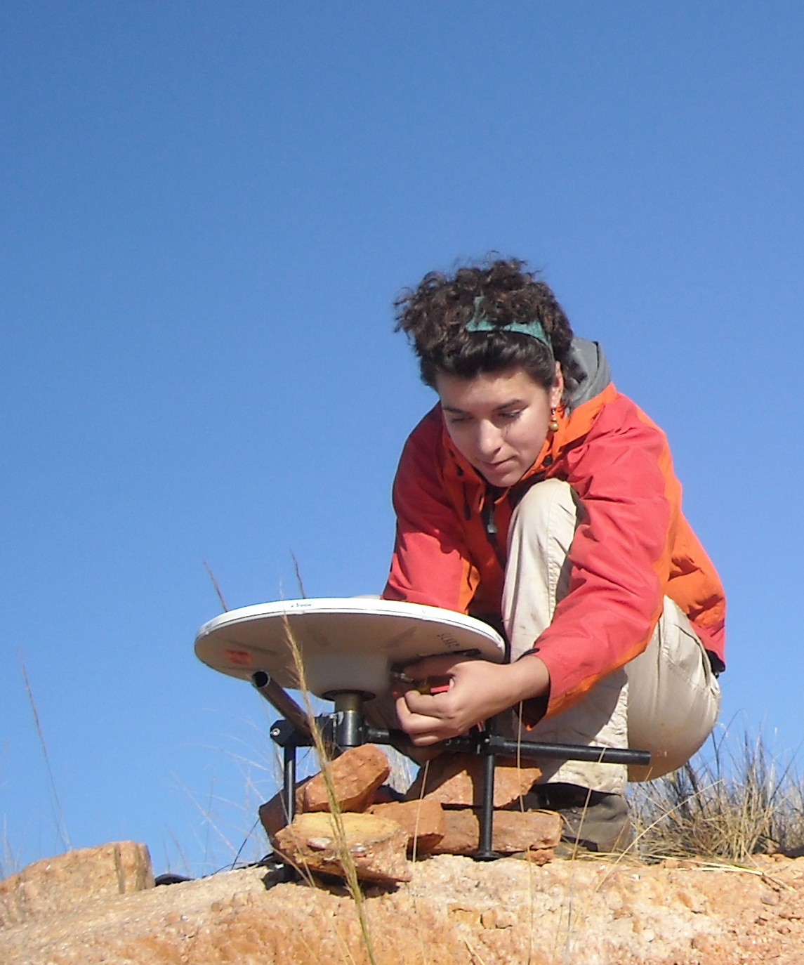
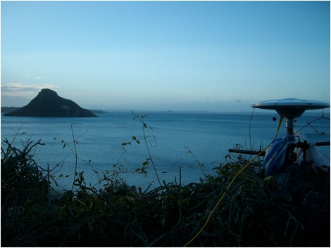
I rotate between several major tasks: planning GPS campaigns, modeling GPS data or new geodynamic models that aim to explain the GPS data, creating presentation materials for conferences, building new collaborations and projects by email and Skype, working with colleagues on existing projects, working with students to guide their development as scientists, writing papers, writing proposals, and promoting earth science education.
What are you hoping to learn from your research?
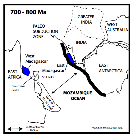
My aim is to better understand plate boundary formation.

 unavco.org.

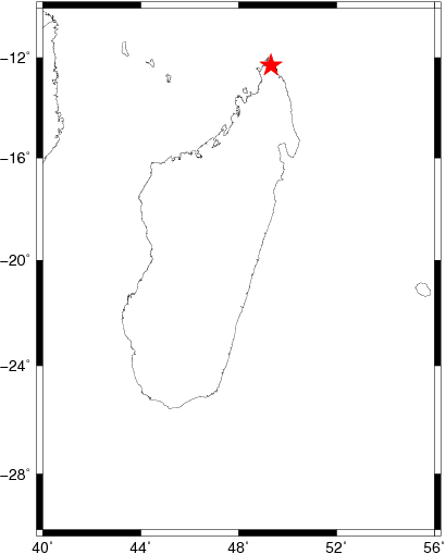
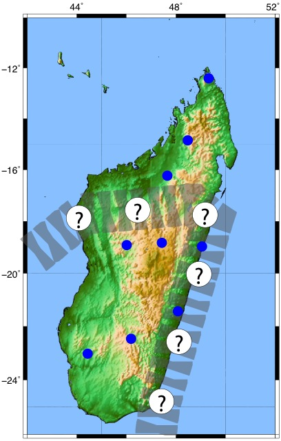
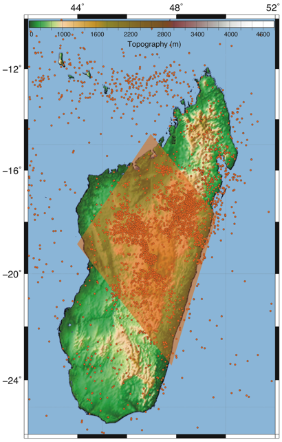
 Spotlight Map
 GNSS Videos
 Funding and Acknowledgements